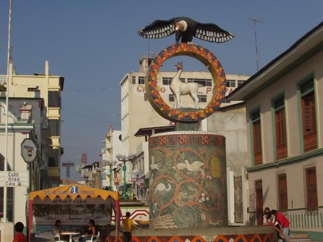
Tumbes, Junín, Peru
Suggest Place to Visit
753
Track to location with GPS |
 |
Tumbes was a region populated from times before the Inca empire by large human groups dedicated to agriculture, hunting and commerce.
One of these were the Tumpis, considered by traditions as the greatest navigators on the Peruvian coast. They stood out in the carving of shells of pointed shells, donkey foot (Peruvian limpet shell) and other mollusks.
Later, the area was incorporated into the domain of the great Chimú. During the Inca period, and especially during the Inca Pachacutec's government, the Cusco residents extended their dominions to Tumbes.
At the time of the Inca Empire, Tumbes had a very important role in the political destinies of Tahuantisuyo, where Pachacutec subjected it to his rule and after the year 1400, he went to the Puno islands and it was Huayna Cápac who turned it into a center of operations from where He went out with his army to dominate the Puneños. For this reason the monarch gave greater importance to Tumbes and ordered the construction of roads, houses, palaces and temples.
In 1532 the first Spaniards arrived in Peru through the port of La Leña under the command of Francisco Pizarro.
Tumbes is the first city to free itself from the Spanish yoke, proclaiming its independence on January 7, 1821. The combative and patriotic spirit of the Tumbes was clear, once again during the 1941 conflict against Ecuador.
Tumbes was elevated in 1942 to the category of department in recognition of its support for the Peruvian victory against the Ecuadorians.
The department of Tumbes is located in the northwestern part of the country.
Tumbes limits to the north with Ecuador and the Pacific Ocean; to the east with Ecuador; to the south with Piura; and to the west with the Pacific Ocean.
The climate of Tumbes is semi-tropical with permanent sun almost all year round, with an average temperature of 24ºC.
Tumbes has a territorial area of 4,669 km2 including 12 km2 of oceanic island.
The department of Tumbes has three provinces: Tumbes, Zarumilla and Rear Admiral Villar.
The main agricultural products of Tumbes are tobacco, rice, cotton, banana, sweet potato and fruit trees. It has bovine and goat cattle. Its main mineral resources are oil and gas. It also has deposits of non-metallic minerals such as coal, bentonite, salt, gypsum and alum (sulfates).
Puerto Pizarro
Puerto Pizarro is a beach located 13 kilometers from the city of Tumbes. It has a small group of fishermen and black shell extractors.
Because the waters of Puerto Pizarro are shallow, they facilitate skiing and boat rides.
In Puerto Pizarro there are guided walks to the national sanctuary, the Mangroves of Tumbes, the island of love, the Hueso Ballena and the Isla de los Pájaros.
The mangroves of Tumbes
They are forests whose vegetation grows and develops in an area of circulation between the sea and the land and that includes a small area on the left bank of the Tumbes River and with a larger area on the right bank up to the area of the International Canal de Capones.
The Mangroves of Tumbes are a natural beauty, with labyrinths, tidal channels or swamps, refuge and food source for numerous species of crustaceans, mollusks, fish and varied fauna.
The Island of Love
The Island of Love is located in front of Puerto Pizarro, it is a quiet place.
In summer this island is full of campers who come to enjoy the tranquility of the sea.
The Island of Love is so called because many newly married couples come to spend their honeymoon.
Caleta de Cruz Pizarro. It is the place where Don Francisco Pizarro began the conquest of Peru. It shows a replica of the cross that he planted in 1532.
Punta Sal. It is the most elegant and beautiful beach of Tumbes, this place is ideal for water sports, horseback riding and relaxation.
The cove of Zorritos. This is where the first oil well in South America was drilled. What is attractive on this beach are the great marine riches such as: sole, corvina, snook; the artisanal fishing pier, the lighthouse and the boardwalk.
Green Waters. It is the city on the border line, from where the commercial exchange between Peru and Ecuador takes place.
The architectural complex Cabeza de Vaca. located in the district of Corrales. In addition, the pre-Columbian remains of Cabeza de Lagarto, Loma Saavedra, Cucharola, among others, where remains of ancient human settlements and ceramic pieces can be found.
Comments
We don´t have yet any comments about:
Tumbes, Land of Forests, Beaches and Mangroves
Tumbes, Land of Forests, Beaches and Mangroves
Be the first to leave a comment as it is very important to inform other people
Outros locais a visitar
Within a radius of 20 km from:Tumbes, Land of Forests, Beaches and Mangroves
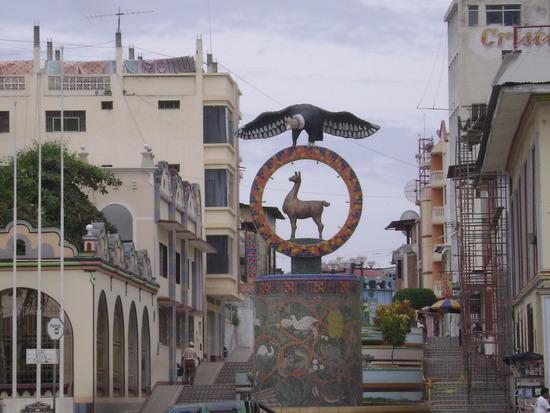
Paseo de la Concordia |
| 0,8 Km |
 |
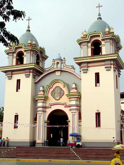
Mother Church San Nicolás de Tolentino |
| 1,0 Km |
 |
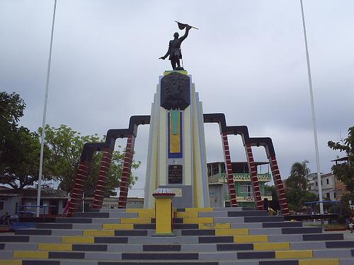
Bolognesi Square |
| 1,0 Km |
 |
Tumbes Plaza de Armas |
| 1,0 Km |
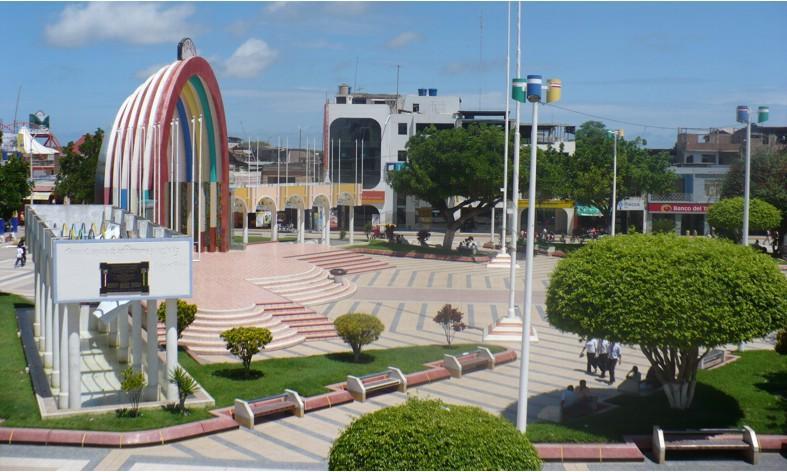 |
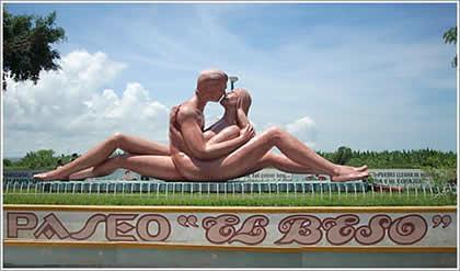
Walk ´´the Kiss´´ |
| 1,1 Km |
 |
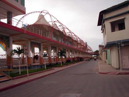
Malecon Benavides |
| 1,1 Km |
 |
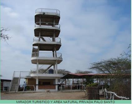
Tourist Viewpoint and Private Natural Area Palo Santo |
| 1,7 Km |
 |
Puerto Pizarro Plaza de Armas |
| 9,7 Km |
 |
Hotel reservation near Tumbes, Land of Forests, Beaches and Mangroves within a radius of 20 km
Why to book with ROTAS TURISTICAS
The best prices
Our partnerships with the world´s largest operators offer research on the best market prices.
More options
At Rotas Turisticos you can book the hotel, buy the air ticket, book the transfer from the airport to the hotel and vice versa, book the local excursions, rent the car, take travel insurance and consult the places to visit and where to go.
Holiday Tips & Destinations
Hundreds of holiday destinations with all the options that allow you to easily choose the destination that best suits your dream vacation.
ROTAS TURISTICAS
Links


